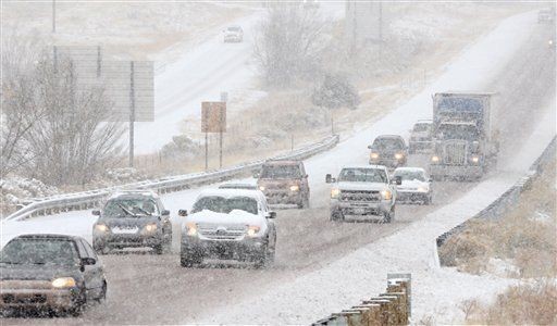
The National Weather Service said that East Idaho should be getting a slight break from the frigid temperatures and heavy snowfall that has been hammering the region over the past week.
With yesterday’s snow expected to end early this morning, temperatures in the Pocatello area are forecast to rise into the 20s and 30s starting on Thursday. Though snow is currently in the forecast for Christmas Day, the National Weather Service said the weather patterns could change before then.
Over the past week, multiple winter weather records were set across the region.
Pocatello’s heavy snowstorm on Dec. 16 obliterated the previous snowfall record. Last Friday, 9 1/2 inches of snow were recorded at the Pocatello Regional Airport. The previous record for that day, set in 2008, saw only 3 inches blanket the Gate City area.
Idaho Falls saw one cold temperature record being broken. On Monday, a record low of -13 degrees was reported, which beats the previous record of -10 degrees set in 1984. Two days earlier, Idaho Falls tied its previous record of -21 degrees, which was first set in 1964.
On Sunday, Challis broke a cold temperature record that stood for 92 years. The low temperature record for that day was -19 degrees, first set in 1924. But recorders on Sunday measured a low temperature of -23 degrees.